Site Surveys & Control

SSC

Site and Control Survey Services

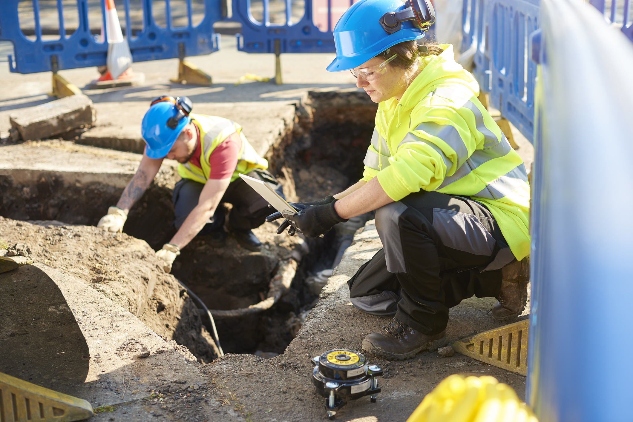
Creeswell offers comprehensive Site and Control Survey services that provide the essential geospatial foundation required for successful infrastructure development. Our surveying expertise supports a wide range of industries, including energy, utilities, transportation, construction, and land development. We focus on delivering precise, reliable data that drives better design, construction accuracy, regulatory compliance, and asset management.

By combining traditional survey practices with advanced technologies such as GNSS (Global Navigation Satellite Systems), robotic total stations, 3D scanning, and UAV-based photogrammetry, we provide tailored solutions that meet the demands of even the most complex projects.

Control Surveys

Control Surveys

  • Establishment of primary and secondary horizontal and vertical control networks.
  • Geodetic control tied to national or project-specific coordinate systems (e.g., NAD83, NAVD88).
  • High-precision GNSS and conventional survey methods for network adjustment and verification.
  • Control monument installation, documentation, and certification for long-term project reference.

Site Surveys

  • Detailed topographic and boundary surveys for design and construction planning.
  • Mapping of existing site conditions, including utilities, drainage features, roadways, and structures.
  • Elevation surveys to support grading, drainage analysis, and earthworks planning.
  • Preparation of CAD-ready and GIS-compatible mapping deliverables.

CLS

Construction Layout Support

  • Site control verification for construction staking and as-built documentation.
  • Layout staking for buildings, utilities, pipelines, roads, and other infrastructure based on control and site survey data.
  • Reestablishment and verification of control points throughout the construction lifecycle.

Our Differentiation from Competition

  • Accuracy and Reliability: Delivery of survey data with tight tolerances to meet stringent engineering and construction specifications.
  • Advanced Technology: Use of GNSS systems, robotic total stations, 3D scanning, and UAVs to optimize survey efficiency and precision.
  • Integrated Services: Ability to seamlessly tie site surveys and control networks into broader project needs, including base mapping, centerline surveys, and GIS integration.
  • Compliance and Standards Expertise: Familiarity with local, state, and federal standards (e.g., ALTA/NSPS, DOT specifications, utility regulations).
  • Client-Centered Approach: We tailor survey scope and methods to meet each client’s specific technical requirements, project timeline, and regulatory needs.