Creeswell delivers precision-driven Topographic and Boundary Surveying services to support infrastructure
design, construction planning, land development, and legal boundary verification. Our experienced survey team
uses advanced GNSS, total stations, LiDAR, and drone technologies to provide accurate and defensible spatial
data that meets regulatory and
project requirements
Core Competencies
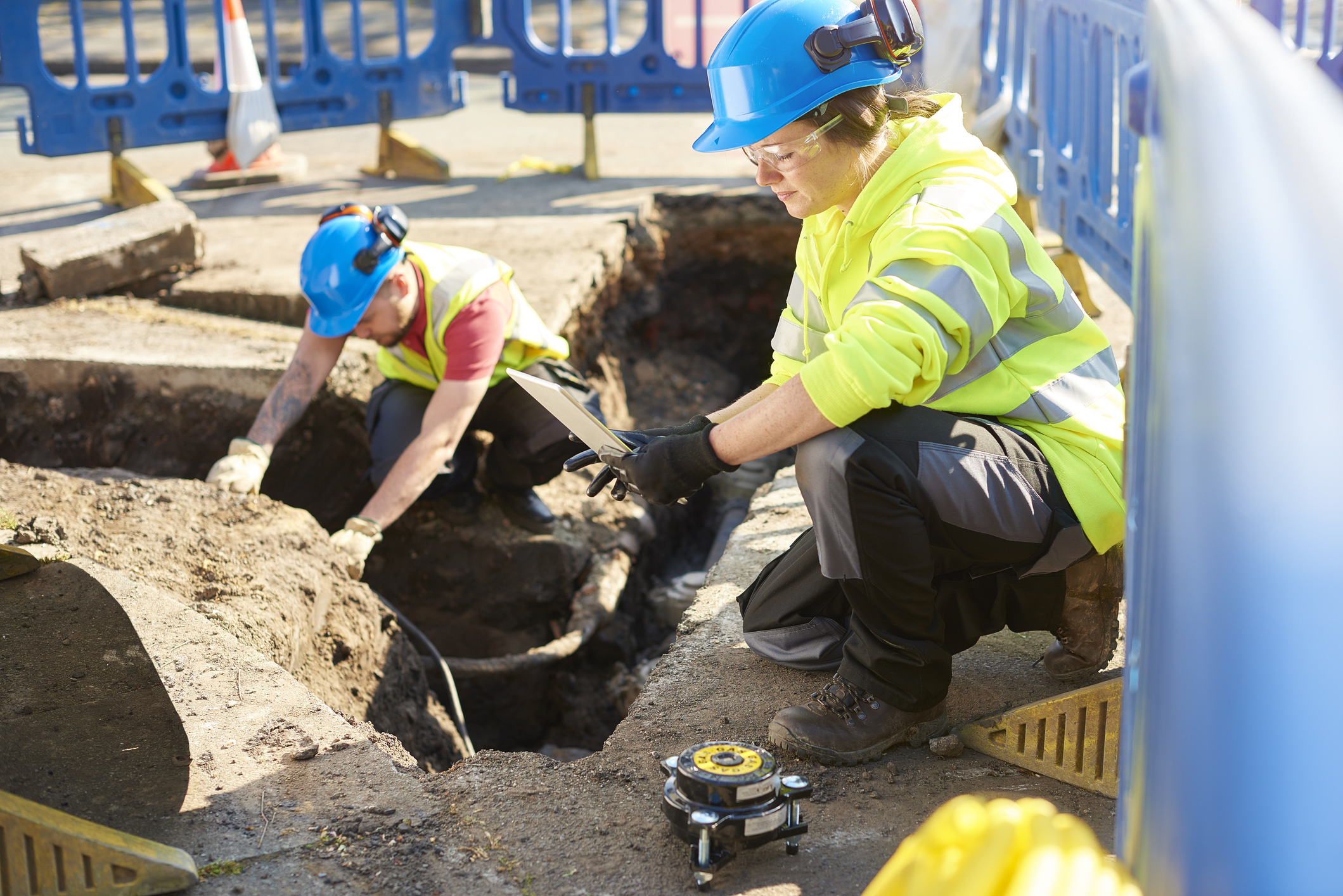
- Topographic Surveys: Mapping terrain elevation, contours, and natural
features to support engineering and design activities. Comprehensive data collection includes manmade
structures, drainage features, and utility
locations for detailed site analysis.
- Boundary Surveys: Identification and marking of property lines and
legal boundaries based on deed research,
plats, and field data collection.
- ALTA/NSPS Land Title Surveys: Comprehensive boundary and title surveys conforming to ALTA/NSPS
standards for
commercial property transactions and financing.
- Construction Staking & Layout: Field layout of structures, roads, and
utilities based
on design drawings and control points.
- Elevation & Floodplain Certification: Preparation of elevation
certificates for FEMA and insurance purposes,
including base flood elevation comparisons.
- Data Integration with CAD and GIS Systems: Delivery of survey results in client-preferred formats,
ensuring seamless integration into design,
modeling, or asset management systems.